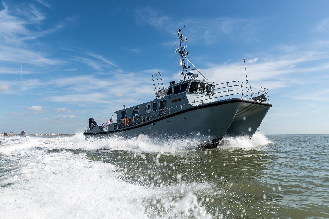
The British Royal Navy’s survey vessel HMS Magpie has tested an advanced software designed to map the seabed close to shore in hours.
The ship used a regular radar and specialist computer programme that measures wave height to chart around Plymouth waters.
Go deeper with GlobalData

The radar bathymetry method was developed by scientists from the National Oceanography Centre scientists and the Ministry of Defence (MOD) experts from Defence Science and Technology Laboratory (Dstl).
National Oceanography Centre lead project scientist Paul Bell said: “By analysing the sea clutter images of waves visible on standard marine radars, a bathymetric profile (that’s the depth) and surface current assessment is created.
“This technique could allow the remote charting of both shallow water and currents from a standoff distance of several nautical miles and could be employed by all Royal Navy ships using the navigation radars that are already fitted with.”
The software uses data and information about currents to create a detailed seabed profile in hours instead of days or weeks.
How well do you really know your competitors?
Access the most comprehensive Company Profiles on the market, powered by GlobalData. Save hours of research. Gain competitive edge.

Thank you!
Your download email will arrive shortly
Not ready to buy yet? Download a free sample
We are confident about the unique quality of our Company Profiles. However, we want you to make the most beneficial decision for your business, so we offer a free sample that you can download by submitting the below form
By GlobalDataThe software is currently still undergoing development with plans to integrate it with the Royal Navy’s existing navigational radar and systems.
The effort requires upgraded software and would not need new equipment.
HMS Magpie commanding officer lieutenant commander Mark White said: “The Royal Navy is continually looking to employ new up-to-date technologies.
“The beauty of this concept is that it uses the existing radars already fitted to our ships.
“It was excellent to work alongside the National Oceanography Centre to trial and develop these new and exciting techniques that could have a wide range of use in the Royal Navy.”