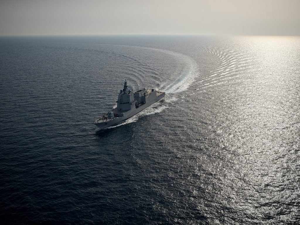
Over the last twenty years, the advent of global navigation satellite systems (GNSS), such as the US-owned GPS, Russian GLONASS and China’s Beidou, has revolutionised navigation for most land, air and surface-based operations, now routinely providing positional, navigational and timing (PNT) data with previously unparalleled accuracy.

Today, differential satellite positioning – using a fixed antenna as a reference – can be accurate to less than 10cms. This, coupled with the range of high-precision tools it has spawned, has comprehensively sounded the death-knell for traditional paper-based navigation aboard the majority of naval vessels.
Beneath the waves, however, where positioning satellite signals cannot penetrate, it is a different story, and for all underwater platforms, precise navigation remains a significant challenge – though that may be about to change as recent advances across a number of technologies begin to make their presence felt.
Integrating inertial navigation
The growing naval trend towards submarine robotics, particularly the rising use of autonomous underwater vehicles (AUVs), has placed substantial importance on accurate underwater navigation. Although this is an issue for all AUVs, it is particularly relevant for vehicles involved in deep water or covert missions, which call for them to remain submerged for prolonged periods – especially when they are reliant on inertial navigational systems (INS) for their positional awareness.
How well do you really know your competitors?
Access the most comprehensive Company Profiles on the market, powered by GlobalData. Save hours of research. Gain competitive edge.

Thank you!
Your download email will arrive shortly
Not ready to buy yet? Download a free sample
We are confident about the unique quality of our Company Profiles. However, we want you to make the most beneficial decision for your business, so we offer a free sample that you can download by submitting the below form
By GlobalDataThe operating principles behind INS are long established, utilising high frequency data inputs from accelerometers and gyros and measuring specific force and angular rates respectively to calculate a vessel’s position, velocity and attitude. However, without access to an external reference point for recalibration, over time, the system’s inherent errors accumulate, eventually resulting in an unacceptably large positional inaccuracy.
See Also:
Although the rate at which this occurs depends on the specific INS used, according to Forsvarets forskningsinstitutt (FFI), even the best currently available inertial measurement unit which is suitable for use in an AUV, yields an error growth of around 1 nmi/h.
Overcoming the problem calls for measurements to be made by additional redundant sensor mechanisms, which are then integrated through a sophisticated Kalman filter to provide a mathematically optimal result.
FFI’s HUGIN – an AUV collaboratively developed with Kongsberg Maritime, Statoil, Norsk Undervannsintervensjon and the Royal Norwegian Navy for data acquisition, mine counter measures, intelligence, surveillance and reconnaissance – provides a good illustration of how a mix of technologies can be combined to achieve this.
Acoustic and sonar systems
In common with most modern AUVs, HUGIN employs a low-drift doppler velocity log (DVL) system to aid its Honeywell HG9900-based inertial navigation, which measures the vehicle’s velocity relative to the bottom, or to the water, if required.
In addition, when possible it can use an onboard GPS receiver and updates based on combining the support ship’s position and its own location relative to that vessel, derived from ultra short base line (USBL) acoustic navigational data obtained via a Kongsberg HiPAP system.
However, although both of these systems offer very high levels of accuracy, they are often impractical for many military operations, since deploying a GPS antenna obviously exposes an otherwise stealthy AUV to potentially hostile view, and it is not always either possible or desirable to have a surface vessel nearby.
Getting around these limitations involves underwater transponder positioning (UTP), sonar bathymetry and micro-navigation.
The UTP technique developed by FFI and made commercially available by Kongsberg has similarities with the traditional long base line (LBL) approach, utilising transponders that have been pre-positioned ahead of the mission, but differs in that it requires only one transponder to be in range, not three.
To enhance this, two complementary technologies based on multibeam echo sounder and interferometric Synthetic Aperture Sonars (SAS) – displaced phase centre antenna (DPCA) micro-navigation and real-time bathymetric terrain navigation – are also being developed.
Beyond the baseline
With many military analysts envisaging a future in which multiple unmanned underwater vehicles could be required to operate within a relatively restricted space, navigation seems set to become even more challenging, particularly with designers attempting to make their platforms smaller and cheaper. While such moves place significant constraints on achieving effective PNT underwater, recent collaboration between the US Naval Research Laboratory, Naval Undersea Warfare Center and the University of Washington physics department could point the way towards overcoming them.
In essence their system brings the principles of aircraft VHF omni-directional range (VOR) navigation to underwater positioning, but this time based on a continuous spiral acoustic wave, rather than VHF radio.
Like the HUGIN UTP, this approach also replaces the three transponders required for LBL triangulation with a single source, but unlike USBL, it also overcomes the need for several onboard hydrophones to detect the incoming signal, since the nature of the transmission itself varies with its position relative to its origin.
This occurs because their revolutionary underwater beacon emits its novel spiral wave superimposed over a conventional circular acoustic wave front, which means that depending on where the observer is located in relation to the source, there is a time variance between the arrival of the two waves.
Since the distance between the two never varies along any particular axis, comparing this phase separation enables relative position to be determined, while the degree of diminution of the waves’ amplitude gives distance.
In tests of the prototype beacon, using an unmanned surface vehicle (USV) equipped with a submerged hydrophone, comparisons of the system-derived position with the true position from the USV’s onboard differential GPS receiver showed agreement of within 5 and 15 degrees over more than 250 runs.
While these results were obtained under controlled conditions at the Naval Surface Warfare Center, and there is obviously more work to be done before this system can begin to be considered for operational use, it would seem to have serious future potential, if only for its relative simplicity in comparison to existing conventional baseline techniques.
With almost any number of AUVs being enabled to navigate by means of just one fixed transponder, and each of those vehicles themselves only needing a single hydrophone to do so, as the team behind the spiral wave system put it, "with future visions of swarms of underwater vehicles, this can be a huge advantage."