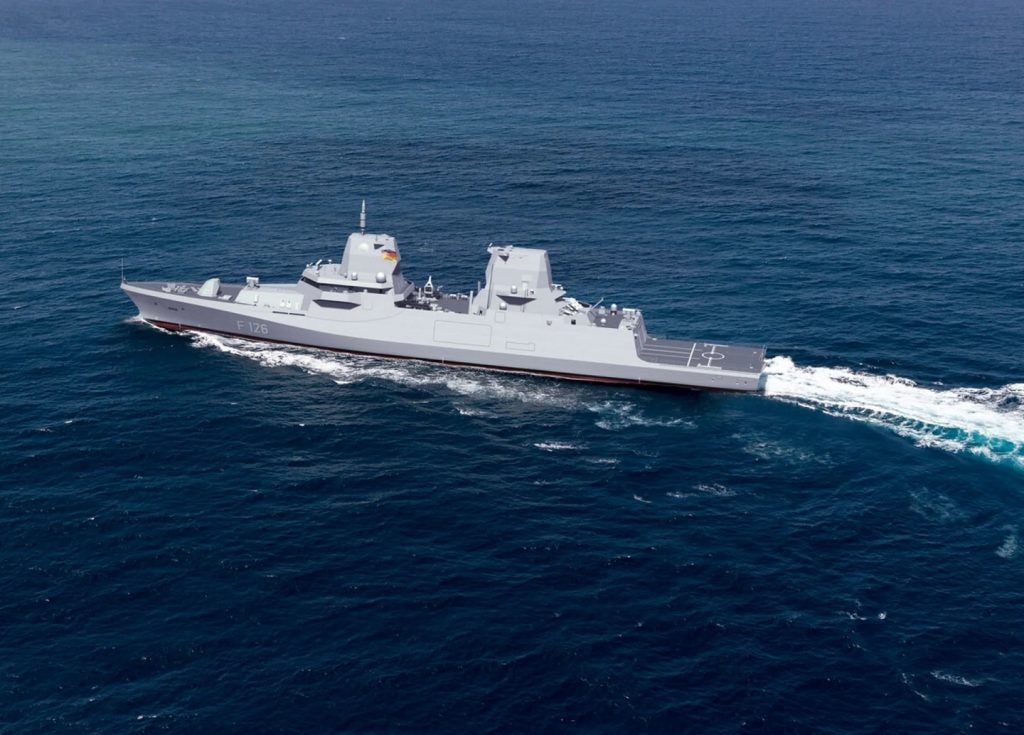
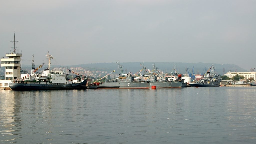
OSI Geospatial has signed a contract with Siemens AG to provide an integrated bridge system (IBS) for the Royal New Zealand Navy (RNZN) Anzac Class frigate platform system upgrade (PSU) programme.
According to the contract, OSI will incorporate its two integrated navigation and tactical systems (INTS) with Siemens’ integrated platform management system into a common multifunction workstation.
INTS is a fully scalable command and control solution that enhances high-speed navigation and tactical and situational awareness capabilities in a wide range of maritime platforms.
OSI had earlier supplied its electronic chart precise integrated navigation system – warship (ECPINS-W) technology for the entire RNZN fleet to enhance situational awareness and improve navigational safety on military vessels.
How well do you really know your competitors?
Access the most comprehensive Company Profiles on the market, powered by GlobalData. Save hours of research. Gain competitive edge.

Thank you!
Your download email will arrive shortly
Not ready to buy yet? Download a free sample
We are confident about the unique quality of our Company Profiles. However, we want you to make the most beneficial decision for your business, so we offer a free sample that you can download by submitting the below form
By GlobalDataThe project is expected to be substantially completed by the end of 2011.


