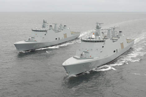
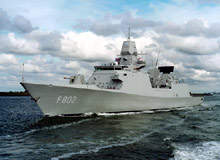
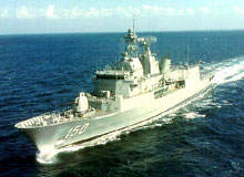
SkyDec has become a renowned innovator, developer and supplier of military GPS hardware and software for navies around the world. The smart combination of military experience, extensive technical knowledge of GPS and a distinct insight in users’ demands and practices has led not only to an innovative assortment of hardware and software, but also to a unique approach of supplying military organizations. SkyDec understands the complexity of modern day navy vessels, initiates innovation and has a truly informed and experienced vision on the present and future possibilities of satellite-based positioning systems.
SkyDec’s product range comprises a varied range of high-end navigation systems and GPS-related hardware and software. What truly distinguishes SkyDec products, however, is the ability to customize and interface GPS systems to existing configurations of applications on modern and sophisticated naval crafts.
SAASM-based GPS navigation system
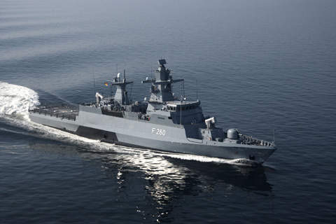
In the NGNS04 MKII years of research, experience and product improvement come together. Our top-of-the-range navigation system is primarily designed to be the crucial reliable source of SAASM-based GPS and time data on the largest and complex naval war crafts of navies around the world. Especially in the elaborate, dual modular redundant set-up we recommend our most demanding customers, the flexible and versatile NGNS04 MKII system offers its users all the tools and opportunities to get the most out of GPS for all possible applications and circumstances.
Cost effective and practical navigation system
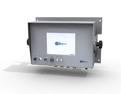
The NGNS06 military GPS-receiver combines nearly all features and capabilities of a full-size GPS receiver installed on large military vessels in a compact design. The receiver can easily be installed in a 19in rack or shock proof bulkhead and provides all information needed to navigate a military vessel in any circumstances, since it can be equipped with three different compact GPS receivers and, if desired, a SAASM module (for authorized users).
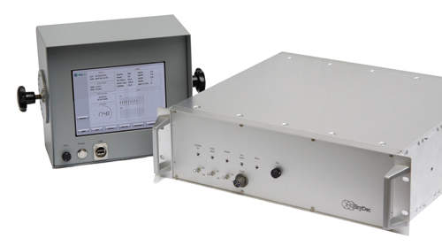


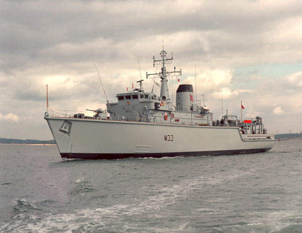
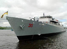
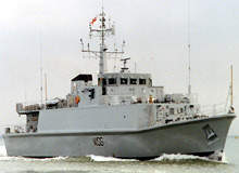
Compact and complete GPS system for patrol ships
The NGNS09 military GPS receiver is a one-box unit with a modular design and a touch-screen interface. The receiver is designed to be incorporated in a great diversity of hardware and software environments. The NGNS09 is capable of giving multiple output formats on several independent data outputs to the ships combat system and other bridge systems.
The system operates in a real-time environment to ensure low latency system output, not influenced by alterations made at the control display. The design includes a flexible adaptation to customer-requested software, including special type interfaces to existing equipment in case of retrofit programs. It can be fitted with both SPS and PPS receivers, including SAASM.
Tactiplot navigation suite
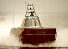
The Tactiplot navigation suite is designed to serve on small military crafts as often used by special forces units in combat. This means that the navigation suite must function under the most severe conditions and it must meet the highest demands possible in circumstances where the stakes are high, but the amount of space is extremely limited. Fortunately, Tactiplot is able to do so: the suite offers its users all the tools necessary to navigate and operate in any environment by combining all thinkable inputs and presenting them on one multifunctional display unit, including imported tactical charts and, optionally, military GPS. The user-friendly interface combined with the professional military and maritime features make the Tactiplot navigation suite an operation improving and cost effective navigation solution for small military crafts.
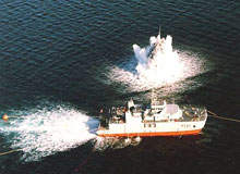
Tow tracking system
SkyDec improves military practices not only by developing high-end GPS devices, but also by recognizing new opportunities its military GPS equipment and knowledge can bring the most demanding customers. A great example of innovative application of proven technology is the MCM tow tracking system SkyDec developed in close cooperation with the Danish navy.
The mine sweeping system consists of two floats, which are both equipped with a civil or military GPS receiver. The GPS data of both systems are sent to the towing vessel via a wireless radio link and are plotted on the existing charts, enabling users to have an exact position of the swept track. The SkyDec engineers ensure seamless integration with existing navigation equipment: this provides improved accuracy and innovative user friendliness. The system can be used with both a civil GPS receiver and a military SAASM GPS receiver (depending on FMS case).
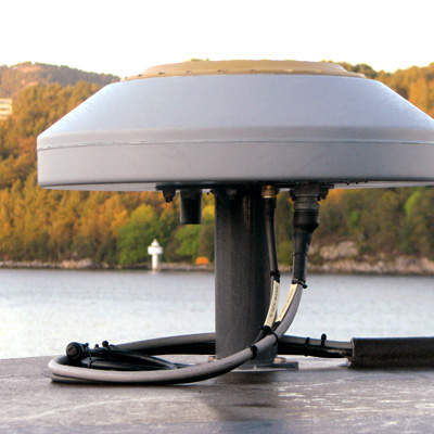
Antennas and accessories
Every system we deliver is completely configured and equipped according to the specific demands of each specific customer. We also offer a complete range of optional hardware, such as a wide range of antennas and accessories like our ike1000 GPS data capture. With ike1000 you rapidly capture critical geospatial information safely and carefully from a remote location. Of course, all our suggested hardware is qualified for usage by military organizations.